Raster Data
Raster data consists of cells or pixels in a seamless grid system and usually contain only one value per cell or pixel.
Raster data model
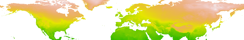
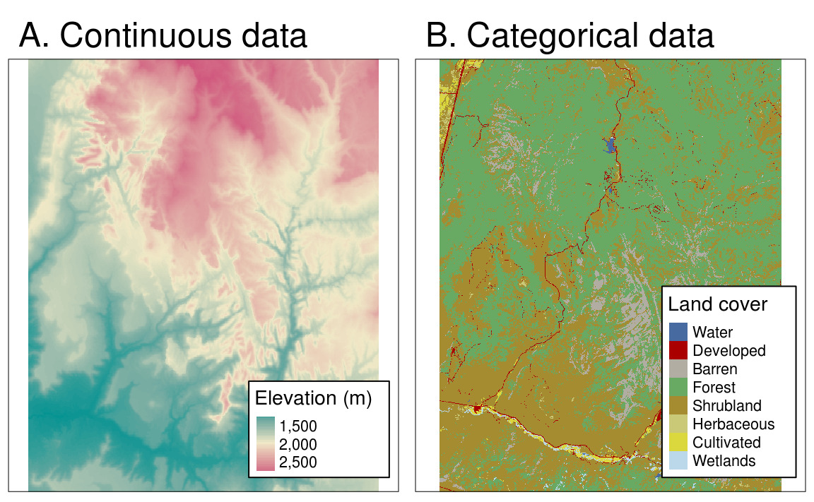
Raster data is commonly used to model spatially continuous data such as environmental temperature or elevation.
In contrast to the vector data model, in the raster data model space is always mapped using two- or three-dimensional objects of any shape or size, but without overlaps or gaps in a grid system consisting of cells. Attributes in the raster data model are stored as values assigned to each cell. These values can be linked to a colour palette for creating coloured maps.
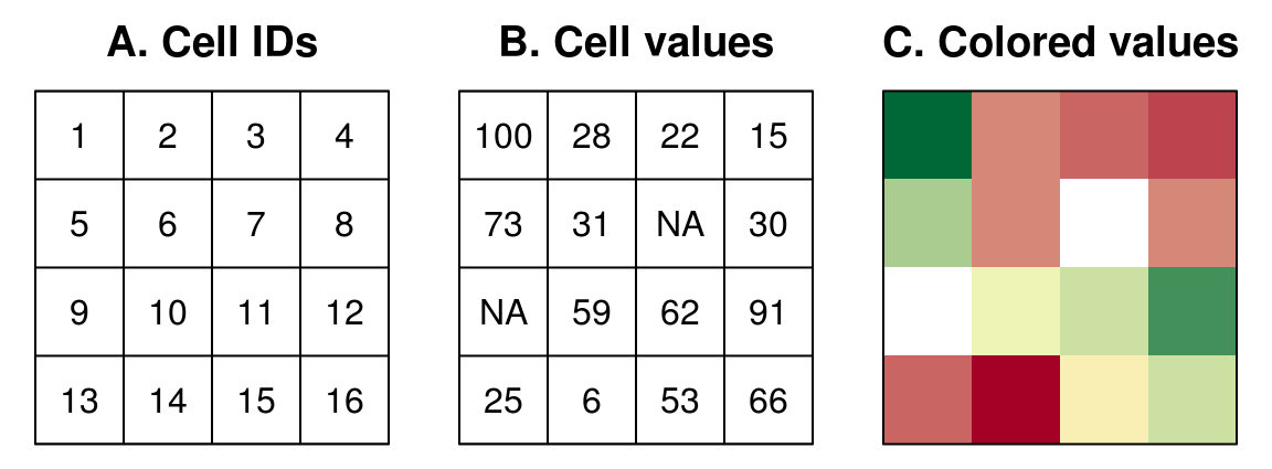
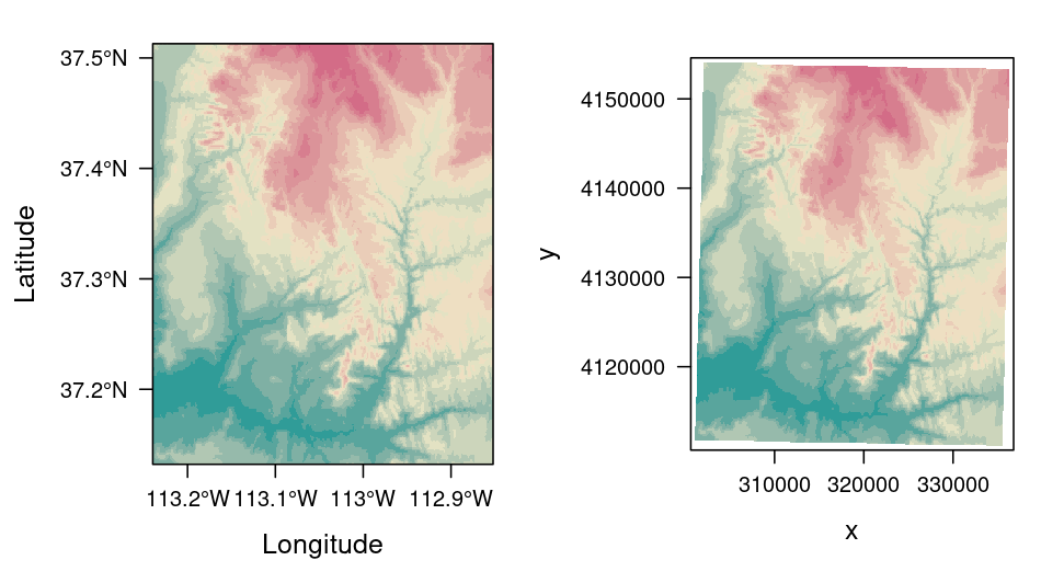
Arranging the non-intersecting cells in rows and columns creates an implicit spatial reference of each cell. It should be noted that the origin of a raster image always lies in the upper left corner and is usually counted from there by the two run indices i, j. As a result, each pixel is uniquely identifiable and an explicit spatial reference is available for each pixel.
However, this spatial concept of a grid system with cells or pixels is not yet located in a defined Cartesian coordinate system or in the real world. Such a localisation is necessary for the joint use of raster and vector data, and it is essential for geographically referencing raster cells within the real world. Therefore, raster data models are basically also provided with a Cartesian coordinate system. Note that Cartesian coordinate systems have their origin in the lower left corner. Grid cells can therefore be identified both by their index and by a Cartesian coordinate system.
More Information
- More detailed information for raster data can be found at Geocomputation with R - Raster data.
Comments?
You can leave comments under this issue if you have questions or comments about the content on this page. Please copy the corresponding line into your comment to make it easier to answer the question.