Overview
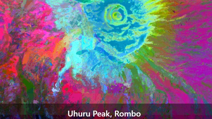
Geospatial foundation models turn years of satellite observations into compact “embeddings” that summarise each location. In this unit, you will learn what embeddings are, how they differ from the spectral bands and indices you have used so far, and how to use AlphaEarth embeddings as predictors for upscaling biodiversity on Kilimanjaro.
Learning objectives
At the end of this unit you should be able to
- explain what a foundation model is and what a satellite embedding represents,
- describe how embeddings differ from spectral bands and vegetation indices,
- discuss the strengths and limitations of embeddings, including interpretability and bias,
- name examples of embedding datasets, such as AlphaEarth Foundations and TESSERA,
- access and visualise AlphaEarth satellite embeddings in Google Earth Engine, and
- extract embeddings for the Kilimanjaro plots and prepare them as predictors for the upscaling workflow.
What you need
- A working Google Earth Engine account (see Unit 03)
- Your study area asset from the Sentinel-2 exercise
- The plot shapefile (
BPolygon.shp) uploaded as a GEE asset - R and RStudio
Comments
You can leave comments below if you have questions or remarks about any of the text or code in this unit. Please copy the corresponding line into your comment to make it easier to answer your questions.