Revision and History
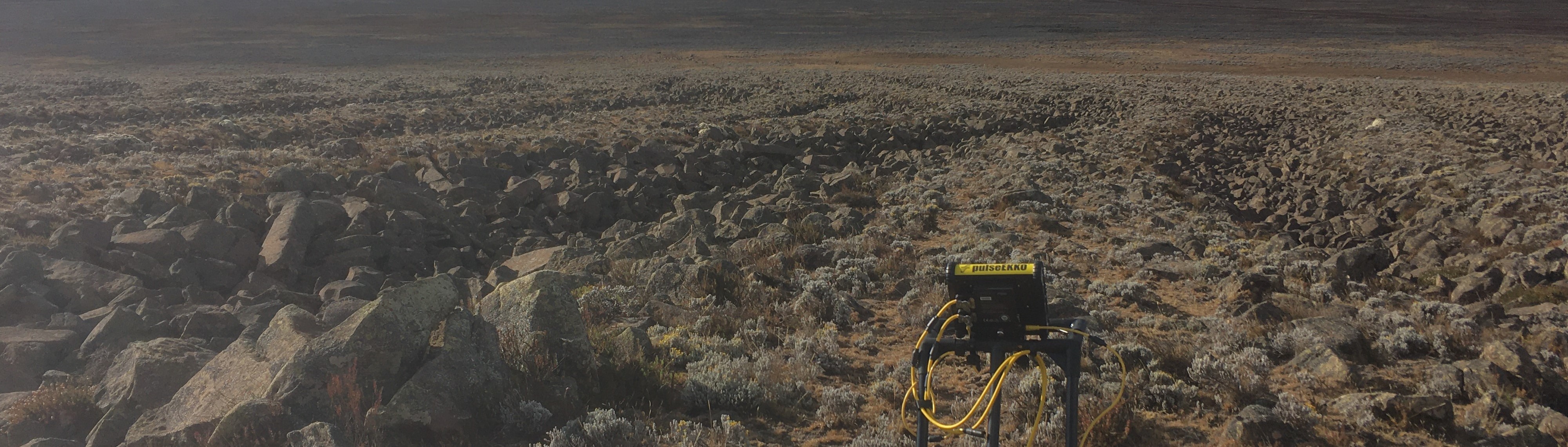
Who uses radar data, how does ground radar work
A very brief history about ground radar
-
1865 James C. Maxwell describes Theory of the Electromagnetic Field in the Maxwell functions
-
1886 Heinrich Rudolf Hertz discovers electromagnetic waves
-
1897 Guglielmo Marconi displaying the first long distance transmission of electromagnetic waves (Radio communication)
-
1904 Christian Hülsmeyer patents the use of the reflection of electromagnetic waves for object detection. Mainly for ships as orientation in fog and during poor visibility.
-
from 1920 and during the WW2 multiple tests of radar detection for submarines and planes were developed
-
in the 1950s the use of radar was tested as a method to measure ice and glacier thickness
-
during the following decades multiple ice measuring expeditions are carried out on Greenland, Antarctica and permafrost areas. The techniques include measurements on the ice surface and with planes. The size of those days radar apparatuses were very voluminous.
-
in mid 1980 portable devices with battery power became more accessible which lead to more smaller devices and independence for measurements
Applications
We already mentioned the cases of ice thickness in Antarctica and Greenland accident. More applications are:
- Measuring the depths from glaciers and snow layers
- Di-section of water bodies, measuring depth and upcoming layers
- Geology, locating and analysing soil, rock and water layers
- Investigating and mapping animal burrow systems
- Locating pipes and drilling positions
- Locating mines from wars
- Archaeology
Can you think of more?
Your answers
- finding water wells
- interpreting the depths and type of rock and soil layers