Course units
This course introduces you to using artificial intelligence (AI) in the geosciences. Over 5 units, you will learn about remote sensing as well as how to work with different types of spatial data and use AI to make spatial predictions about variables. One of the units can be covered by several course sessions.
The first two units introduce concepts and approaches that are crucial to environmental geography. The next two units build upon this basis by introducing methods for using AI to make reliable predictions of variables in space where no measurements are available.
Finally, the last unit(s) guide you through the process of conducting your own project with spatial data and how to implement, document and present your research.
This course assumes some basic knowledge of AI and some previous experience with the programming language R. If you need to refresh your knowledge about AI, we recommend reviewing the introductory courses from the Honours KI program before you continue with GeoAI. If you have little or no experience using R, we recommend reviewing some of the instructors’ other online coursework available at OER Marburg, such as Base R and a more advanced Data Analysis in R.
This course is intended as a blended learning module, although the provided introductions, explanations and examples might be useful for self-study, too.
01 Big questions are spatialApproaching the topic of spatio-temporal relationships and how to represent them digitally can be problematic for both beginners and experts. In general, it involves perceiving spatial patterns and interactions in order to arrive at an understanding and description of the underlying processes. This scientifically based, abstract, cognitive, spatially focused experience of the world provides the basis for understanding environmental change, assessing consequences and deriving responses or solutions.
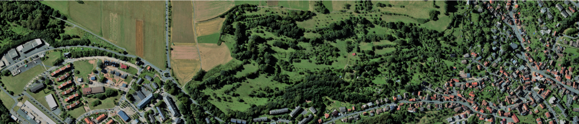
02 Remote Sensing 101Remote sensing is central to every discipline that deals with space. Using satellite, aircraft and drone imagery to detect changes to Earth’s surface is an essential component of environmental informatics. Remote sensing is often paired with biophysical, geophysical or human-induced processes to develop predictive models. Here, extracting information from images to identify the underlying processes are critical for both scientific knowledge and future challenges facing society.
03 Randomly correct is not predictedMachine learning algorithms, such as random forest, can be trained to find patterns in empirical data that are invisible to humans. Better yet, as long as the training data is representative, these patterns can be used to predict for spaces for which no data is present, which is the goal of this course. But being randomly correct is not the same as a prediction.
04 Deep LearningBesides traditional machine learning methods like Random Forest, Convolutional Neural Networks (CNN) as part of Deep Learning are nowadays a default algorithm for many perceptual tasks like computer vision or speech recognition. These CNNs are particularly suitable for such tasks because (spatial) patterns can be recognized at different hierachy levels. According to the properties of CNNs, they can also be adapted for the field of remote sensing.
05 Final team project: spatial prediction