Overview
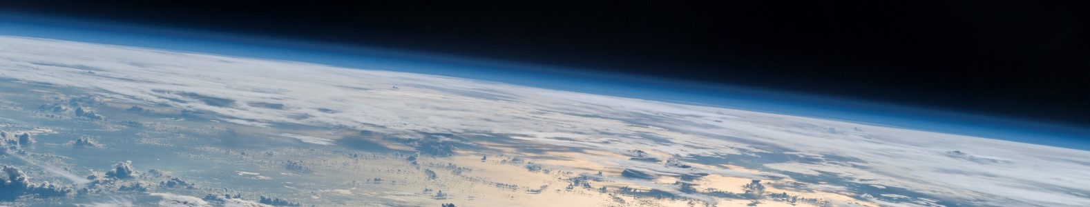
Remote sensing is central to every discipline that deals with space. Using satellite, aircraft and drone imagery to detect changes to Earth’s surface is an essential component of environmental informatics. Remote sensing is often paired with biophysical, geophysical or human-induced processes to develop predictive models. Here, extracting information from images to identify the underlying processes are critical for both scientific knowledge and future challenges facing society.
Recap
In the last session, you learned about human-environmental interactions through the NCP framework. You also saw great examples of geographical analysis in human history and saw that interpolation is not the same thing as prediction. With that background on why spatial composition matters, we now move on to observing and measuring environmental variables in space.
This session
We call this unit Remote Sensing 101 because you will learn the basics of optical remote sensing and different types of sensors. In addition, we will introduce a variety of different data formats for working with geodata that will be useful for the final project of this course. The knowledge about the physical laws and properties of sensors that you learn in the first section will support the knowledge that you gain about remote sensing data in the second section.
Learning objectives
At the end of this unit you should be able to
- explain the difference between passive and active sensors
- understand how we take advantage of different wavelengths to measure different properties of the Earth’s surface
- explain the difference between vector and raster data and provide examples of when each type is appropriate to use
- analyze aerial imagery in R