Who uses radar data?
Applications
We already mentioned the cases of ice thickness in Antarctica and Greenland accident. More applications are:
- Measuring the depths from glaciers and snow layers
- Di-section of water bodies, measuring depth and upcoming layers
- Geology, locating and analysing soil, rock and water layers
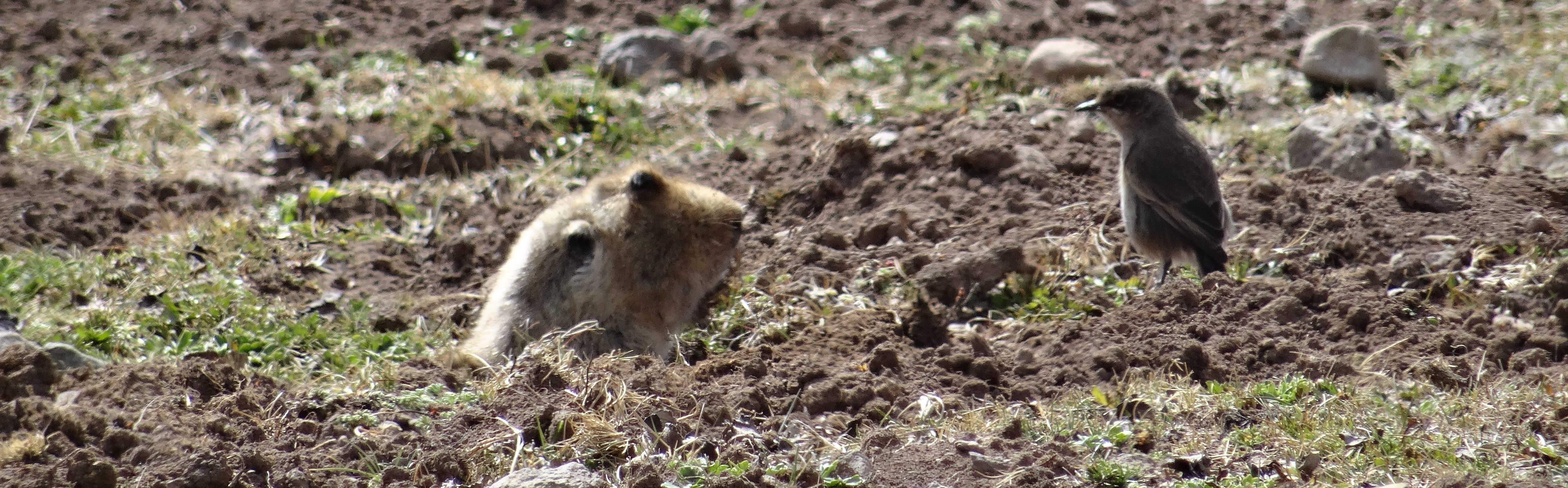
- Investigating and mapping animal burrow systems
- Locating pipes and drilling positions
- Locating mines from wars
- Archaeology
Can you think of more?